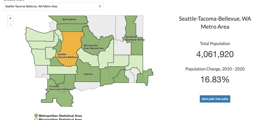
MSA Map of Seattle Tacoma with population statistics

National Urban Research & Extension Center Urban Data Hub

National Urban Research & Extension Center (NUREC) members use this portal to find tailored data at the Metropolitan Statistics Area and Rural Urban Continuum Code levels. The site also features a full Map Room and tailored Reporting tool to help members learn more about their urban communities.

A screenshot of the Heartland Food Business Coalition's homepage. The photo shows a person picking red peppers and placing them into a white cooler.

Heartland Regional Food Business Center

The USDA Regional Food Business Centers program was designed to support farms and food businesses to create new market opportunities, enhance competitiveness, and strengthen their regional supply chains. The Heartland Regional Food Business Center offered technical assistance, capacity building awards, and coordinated services to catalyze the growth of regional food economies. The program was de-funded in 2025 and the Heartland Regional Food Business Center became the Heartland Regional Food Business Coalition.

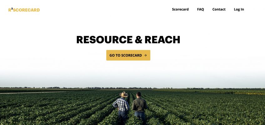
A screenshot of the RSquared homepage. A photo that shows two people standing in a field of row crops.

RSquared

The RSquared scorecard provides MU Extension faculty with quantifiable metrics about their programs. The scorecard has two sections – Resources and Reach (R2) – and pulls in data from the MU Extension PEARS reporting system alongside metrics related to media reach and revenue generation.

Civic Muscle Index logo

Civic Muscle Index

The Civic Muscle Index assesses belonging, contribution, leadership, and vitality characteristics for counties across Missouri and the city of St. Louis. These indicators are indicative of communities where residents thrive, economies prosper, and neighborhoods flourish. The tool also features a peer counties report, allowing comparison between the Civic Muscle of like counties.

Sunflowers in the background with All Things Kansas text on top

All Things Kansas

All Things Kansas is a free interactive tool with data-driven mapping, reports, and insights for all 105 counties in the Sunflower State. The website uses national, state, and local resources to help analyze and visualize data across Kansas communities.

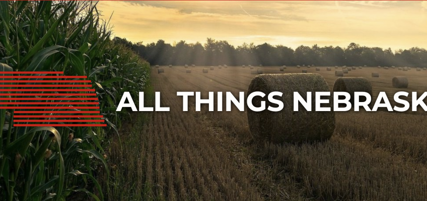
A hay field with the words All Things Nebraska

All Things Nebraska

All Things Nebraska serves as Nebraska’s central data and mapping resource for policy-makers, business owners, farmers, and community organizations working to resolve issues related to: agriculture, economic development, health, well-being, and safety. All Things Nebraska provides access to national, state, and local (Nebraska-sourced) data all in one platform. It hosts the Nebraska Map Room and tools to support University of Nebraska Extension programs and services.