The Feedstuff Finder enables feedstuff buyers and sellers to make connections. Sellers of co-products and forages can share prices, products, information, and locations. Buyers can identify feedstuff sources by location, product type, or price and see their locations on a map. CARES developed the site, map, and cost calculator tool for the Feedstuff Finder team.
SparkMap
CARES launched SparkMap in 2019. SparkMap hosts a robust Community Needs Assessment tool, data upload tools, ZIP code level reports, and more. SparkMap is a great subscription service for healthcare consultants, grant writers, community benefit managers, and others working on community needs assessments.
Trust for Public Land
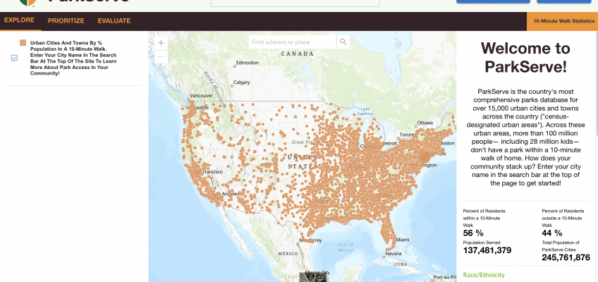
CARES provides data analysis and programming support for the ParkScore and ParkServe projects created by the Trust for Public Land. ParkServe is the country’s most comprehensive parks database for over 15,000 urban cities and towns across the country. The ParkScore® index is the national gold-standard comparison of park systems across the 100 most populous cities in the United States.
Local Health Department Communicable Disease Dashboards
CARES hosts and updates a series of local public health dashboards that provide citizens and the media with easy access to data on reportable diseases. Data are shown for more than 15 diseases in the county with benchmarks for previous years. CARES hosts dashboards for Andrew, Butler, Carter, Cass, Cooper, and Harrison counties in Missouri.


